|
|
MODELLING LAND USE DYNAMICS IN THE SPANISH NETWORK OF NATIONAL PARKS AND THEIR HINTERLAND (DUSPANAC) |
|
|
FIRST PARTICIPATORY WORKSHOP OF THE DUSPANAC PROJECT, FEBRUARY 22 2012 RESULTS OF ACTIVITY 3 - Landscape suitability by land use category After exploring the impact of human activity in the study area in the first two activities, in this activity we focussed on the natural geographical characteristics of the landscape. This excercise proceeded on the basis of the consensus categories agreed in the first activity, and in the same groups as before. The research team handed out a series of variables relating to the characteristics of the natural environment (for example, elevation, (euclidean) distance from water courses in metres, average annual rainfall etc) in order to begin generating internal discussion in each group. The aim of this activity was to establish the relationship or link between these environmental variables and the land use categories developed during the morning. This relationship was defined according to three levels of influence, strong influence, weak influence, no influence. As with the previous activities, we finished with a common discussion session. 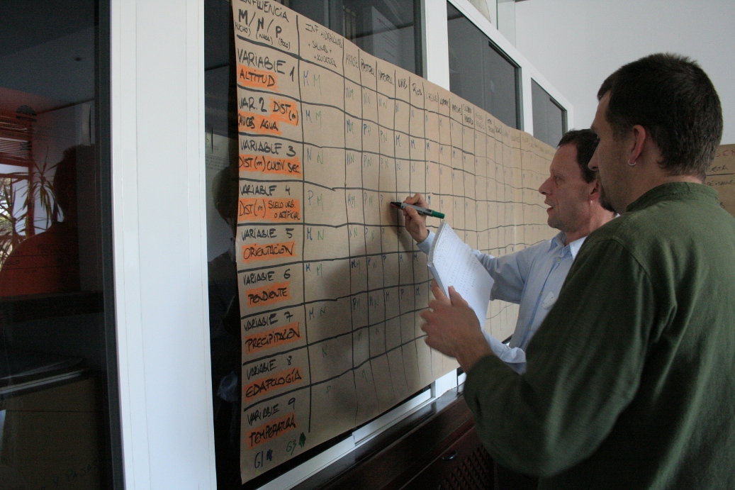
Transferring each group's information to the wall chart 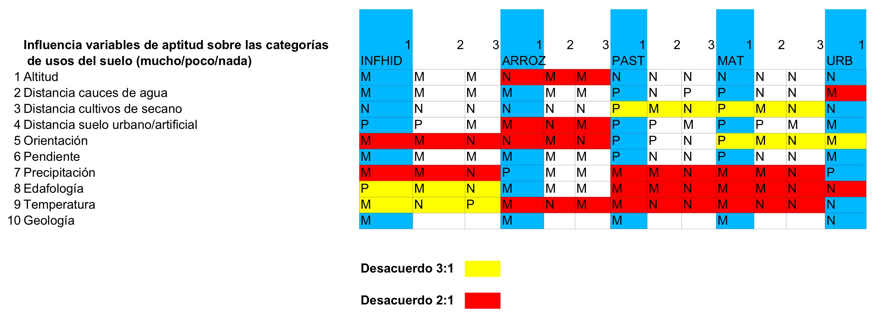 Results of the suitability analysis transferred to a data base table |

Example suitability variable, Elevation (m) above sea level (Click on the image to show full-size) 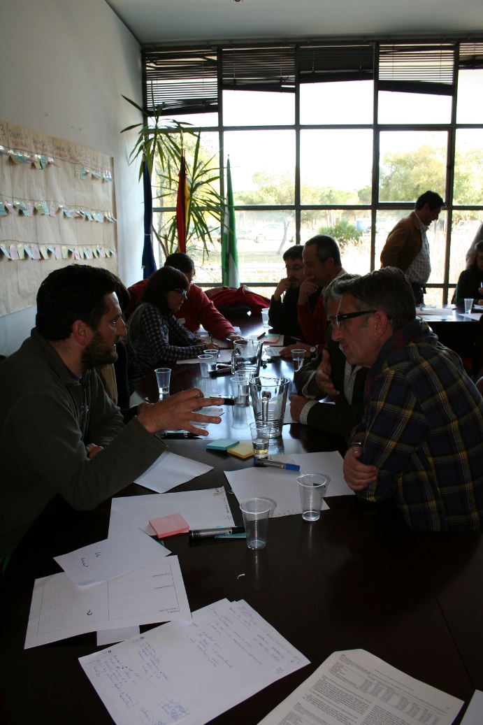
Group debate Results of Activity 3 Results of participatory suitability analysis Activity sheets for the 9 suitability variables analysed by workshop participants
|
 |
 |
 |