|
|
MODELLING LAND USE DYNAMICS IN THE SPANISH NETWORK OF NATIONAL PARKS AND THEIR HINTERLAND (DUSPANAC) |
|
|
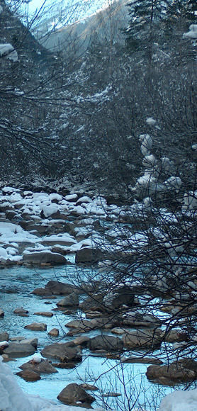
Methods The methodology that will guide the project and that will permit the stipulated objectives to be reached is based on: 1: GIS technology – study of land cover changes using cross-tabulation analysis of existing images and maps, 2: Application of cellular automata based models - building future land cover scenarios, 3: Participatory methodologies by means of interviews and discussion workshops with the target population, researchers and other interest groups. DUSPANAC GIS Documentation Chapter 1: Downloading, transforming, and clipping CORINE land cover data Chapter 2: Creating raster land cover maps for each National Park from the corine data for all Spain Chapter 3: Carrying out the cross tabulation analysis for all 14 national parks |
|
 |
 |
 |