|
|
|||||
|
|
|||||
|
Analytical hillshading is a technique for producing shaded relief maps automatically. Relief shading is used to visually enhance the terrain features by simulating the appearance of the effects of sunlight falling across the surface of the land. Hill Shading estimates surface reflectance from the sun at any altitude and any azimuth. The reflectance is calculated in a range from 0 to 100. The equation for the sun in the northwest sky with a 45 degree altitude is as follows Reflectance = 1/2 + (p'/2) / SQR(po2 + p'2) * 100 where:
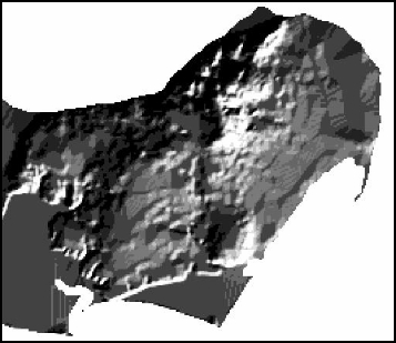
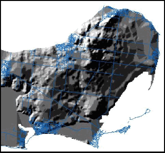
If you create a hill shade map with the light coming
from the 'south' or bottom of the screen the result is not so easily
interpreted (see Fig. 1). It seems that even for people living in
the northern hemisphere their 'natural' interpretation of terrain
is with the light from 'north' (as in Fig. 2)).
|
|
| Click here to download all Theory presented in this Module | |
| references | |
|
|