|
SECOND PARTICIPATORY WORKSHOP OF THE DUSPANAC PROJECT, 11 DECEMBER 2012
participatory evaluation of the cellular automata model for land planning in the Doñana natural area (END) and its hinterland.
Demand and location of future land use according to the "Eco-future" scenarios.
Workshop structure:
1. Inauguration and welcome.
2. Introiduction: Advances in the DUSPANAC project and brief explanation of the workshop's objectives.
3. Presentation: How the model works, data bases and incorporation of the participatory information obtained in previous workshops.
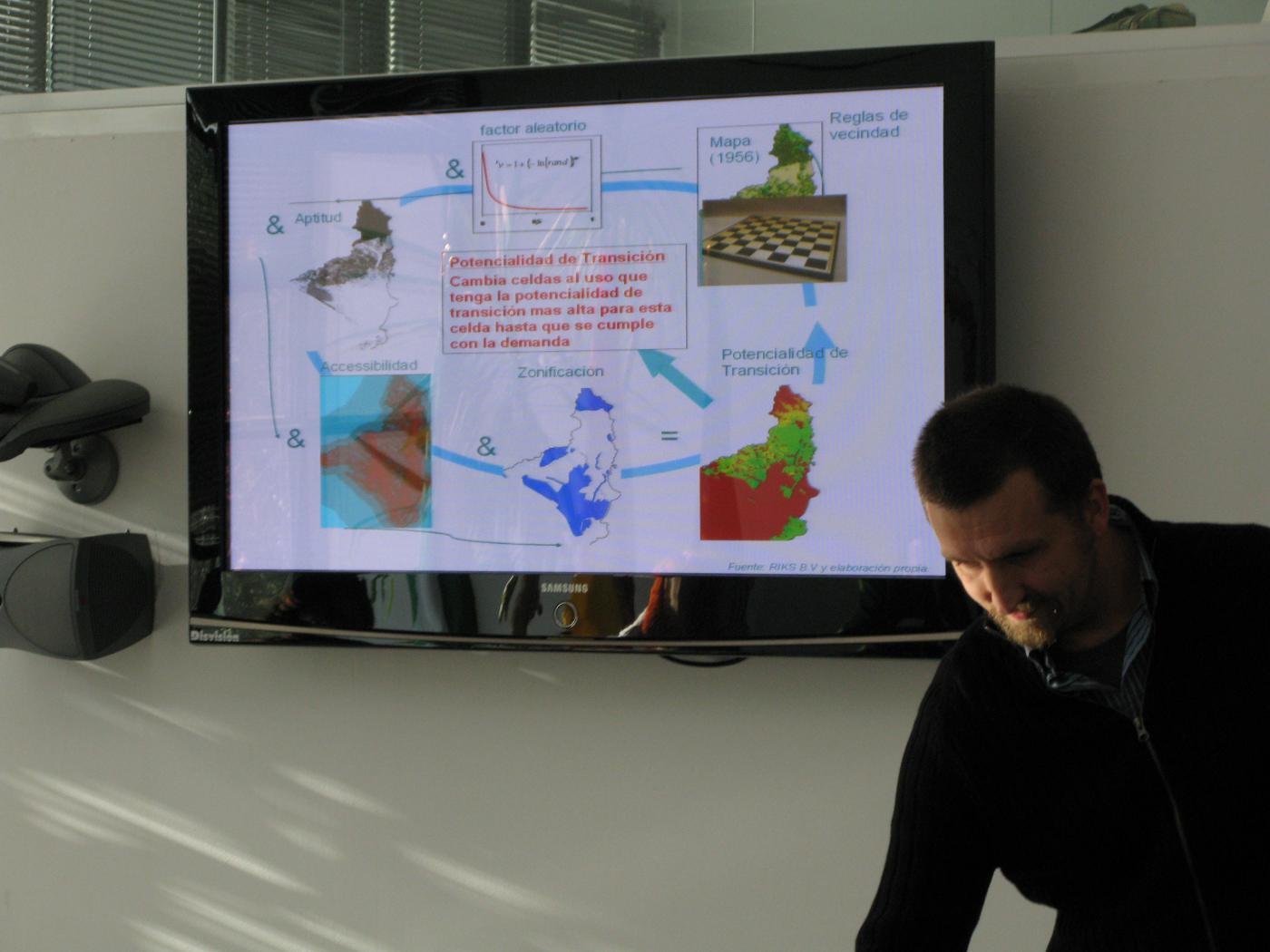
4. Presentation: The model and the role of stakeholders in land planning.Graphic explanation of the results of the model calibration.
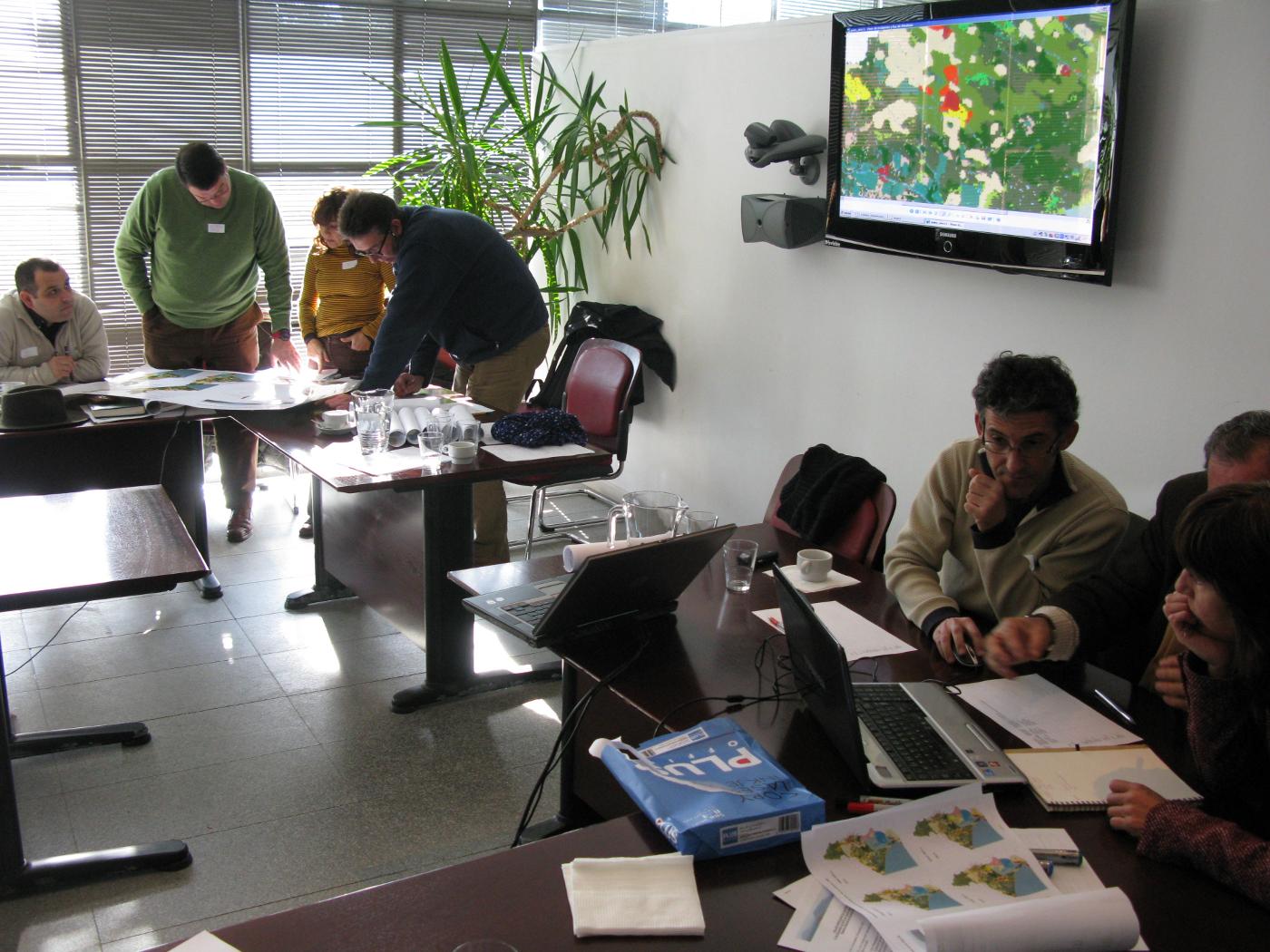
5. Activity 1 - Participatory evaluation of the model (simulations).
6. Activity 2 – Application of the Cellular Automata model to the "Eco-future" scenarios. Identification of land use location for each scenario.
7. Conclusions - Questionnaire about the application of the Cellular Automata model to the Doñana natural area and hinterland by economic sector.
General aims of the second participatory workshop for the DUSPANAC project:
We aimed to share with all participants the following key information:
- Modelling is a process and the stakeholders are involved in the model's development.
- In order to build a land use model, it is necessary to determine where change takes place (location), how much change occurs (demand) and in what way does the change take place (spatial pattern).
- The model must be calibrated before it is applied to a particular study area. This process involves uniting the research team's knowledge (e.g. techniques and software) with stakeholders' local knowledge about the territory and its processes of change.
- In calibration, we try to represent historic land change dynamics (determined both through analysis of land use change and through previous participatory workshops with stakeholders) by simulating land use for an historic date for which a land use map is already available for comparison. Before using the model to generate simulations of land use at future dates, it is important to achieve an acceptable goodness-of-fit between the simulated land use map and the historic land use map.
- To estimate the goodness-of-fit a series of techniques are applied, one of which comprises participatory evaluation by stakeholders with knowledge of the local area.
- Once calibrated, the model is applied to the creation of new land use maps which transate the dynamics expressed into future scenarios. To do this, it is neccessary to estimate the demand (in hectares) for each land use category in each of the scenarios, in this case, the "Eco-future" scenarios. The demand determined by the stakeholders comprises the input data used to generate land use maps for the future scenarios.
- It is not possible to predict the future, however, the maps generated from this process can be useful if they reflect the collective vision of the stakeholders who have knowledge of the territory in question.
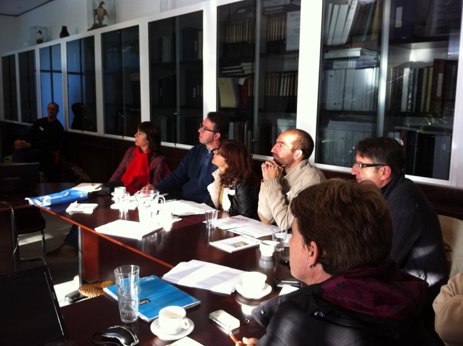
Following the introductory presentation given by the DUSPANAC research team, the workshop activities were begun. To facilitate this, the participants were divided into working groups.
|
|